How to reach Paro
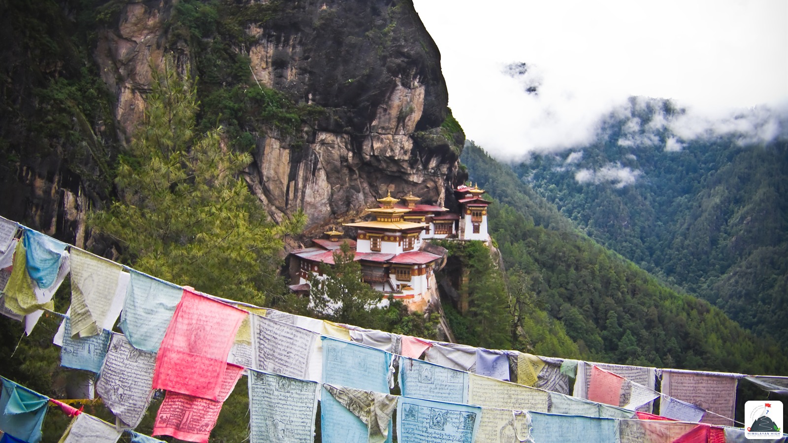
Paro, at about 2,200 m, lies about 3.5 km from Bhutan's main international airport. Flights land only in daylight and good visibility; by road it is about 140 km up from Phuentsholing on the Indian border.
Region: Bhutan - West
Route hubs: Siliguri - Hasimara - Jaigaon - Phuentsholing - Gedu - Chhuzom - Paro
Nearest airport
Paro International Airport (PBH)
3.50 km • About 15 min
Nearest railhead
Hasimara, West Bengal (India) (HSA)
160.00 km • About 6 hr
From the airport
Paro International Airport, Bhutan's main international airport, lies on the valley floor about 3.5 km from Paro town, a 10 to 15 minute drive. Only Drukair and Bhutan Airlines fly here. From India, Delhi and Kolkata have flights on most days of the week; Drukair also flies from Guwahati five days a week and from Bagdogra twice a week, and there are seasonal winter flights from Gaya. Mumbai is not on either airline's current timetable, so connect through Delhi or Kolkata. Indian nationals are issued their entry permit at the airport on arrival with a passport or voter ID; most other nationalities need a visa approved before they fly. If Paro seats are scarce, Bagdogra (IXB), the airport for Siliguri, has far more flights, and from there you come in overland through Phuentsholing.
From the railway station
Bhutan has no railway yet: the planned lines from Kokrajhar to Gelephu and from Banarhat to Samtse are still to be built, so a train brings you only to the Indian border. The closest station is Hasimara (HSA), just 18 km from Phuentsholing. From Kolkata, the daily Kanchankanya Express leaves Sealdah at 8:30 pm and reaches Hasimara at about 11:10 am, and the Mahananda Express from Delhi also stops here. If you are coming from Delhi, Mumbai or elsewhere on a train to Guwahati, get down at New Alipurduar (NOQ), on the main line, where the Delhi–Dibrugarh Rajdhani and many other long-distance trains stop; it is about 55 km from Phuentsholing, 1 to 1.5 hours by taxi. New Jalpaiguri (NJP), with the widest choice of trains, is 4 to 5 hours away by road.
By road
Paro is reached by road through Phuentsholing, the Bhutanese town that sits wall to wall with Jaigaon on the West Bengal border. From Siliguri, New Jalpaiguri or Bagdogra the road runs east across the Dooars tea country via Malbazar and Hasimara to Jaigaon, about 150 to 165 km and 4 to 5.5 hours. Once the entry formalities are done, most travellers spend the night in Phuentsholing and drive up to Paro the next morning.
- Phuentsholing – Rinchending checkpoint – Sorchen – Gedu: a steep climb out of the plains, about 2 hours. Your permit is checked at Rinchending, just above town.
- Gedu – Chukha – Chhuzom: the long middle section, including the Damchu–Chukha bypass, down to Chhuzom, where the Paro and Thimphu rivers meet.
- Chhuzom – Paro: the last stretch up the Paro valley, past the airport, 20 to 30 minutes.
In all, Phuentsholing to Paro is about 140 km, 4.5 to 6 hours by car. The Damchu–Chukha bypass is rough and prone to slides and falling boulders; when it is blocked in the monsoon, traffic goes round by the older, narrower road via Tsimasham, about 20 km longer. Sorchen, on the climb between Rinchending and Gedu, is a long-standing slide area.
By bus
From NJP / Siliguri: Bhutanese-run buses go direct from Siliguri to Phuentsholing in about 4 to 6 hours. They leave from a stand opposite Golden Plaza on Burdwan Road, not from the Tenzing Norgay bus terminus. There are a few departures a day between early morning and mid-afternoon, but published timings differ and change often, so confirm the day's times and seats locally a day ahead. You can also take any bus to Jaigaon, the border town, then an auto to the Bhutan Gate and cross on foot into Phuentsholing.
From Hasimara: autorickshaws outside the station reach Jaigaon and the Bhutan Gate in about 20 minutes. Cross over on foot to Phuentsholing.
From Alipurduar: Jaigaon is about 50 km away and direct buses from the bus stand take about 2 hours. From Jaigaon bus stand, an auto to the Bhutan Gate takes about 10 minutes.
From Kolkata: a Bhutan government bus has run from Esplanade to Phuentsholing three days a week (recently Tuesday, Thursday and Saturday), leaving in the evening and arriving the next day after 18 to 22 hours. Check that it is still running, and book ahead.
Phuentsholing to Paro: a direct bus leaves each morning (listed at 9 am) and takes 5 to 6 hours; buses to Thimphu run far more often, from early morning to mid-afternoon.
Local transfers
If you are travelling on your own, taxis wait at the terminal and, in town, in the main bazaar. From Thimphu, taxis cover the 50 to 55 km in about an hour; buses take nearer two. The Druk Path trek starts from the National Museum (Ta Dzong) on the hillside above town, and the Chomolhari base camp trek from the head of the valley near Drukgyel Dzong. Be in Paro at least a day before your trek begins.
Distances from major points
- Siliguri – Jaigaon: about 150 to 160 km
- Kolkata – Jaigaon: about 710 km
- Hasimara – Jaigaon: 18 km
- Alipurduar – Jaigaon: about 50 km
- Phuentsholing – Paro: about 140 km (about 160 km via Tsimasham)
Safety
Paro flights operate only in daylight and good visibility, so keep a spare day between your Paro flight and any onward international connection, especially in the monsoon (June to September). Nearly all road blockages in Bhutan come between May and October, and the Gedu and Jumja stretch is known for thick fog: avoid the Phuentsholing road after dark and ask locally about its condition. Overland, entry permits are issued only in office hours on working days. Paro sits at about 2,200 m, but treks from here climb above 4,000 m, so take the first day gently.
Travel tips
- Plan buffer time for road delays, especially in monsoon and winter.
- Start early for long drives to avoid night stretches on mountain roads.
- Keep offline maps and cash as backup in low-network zones.
- If you are continuing to high altitude areas, acclimatize and hydrate well.