How to reach Badrinath
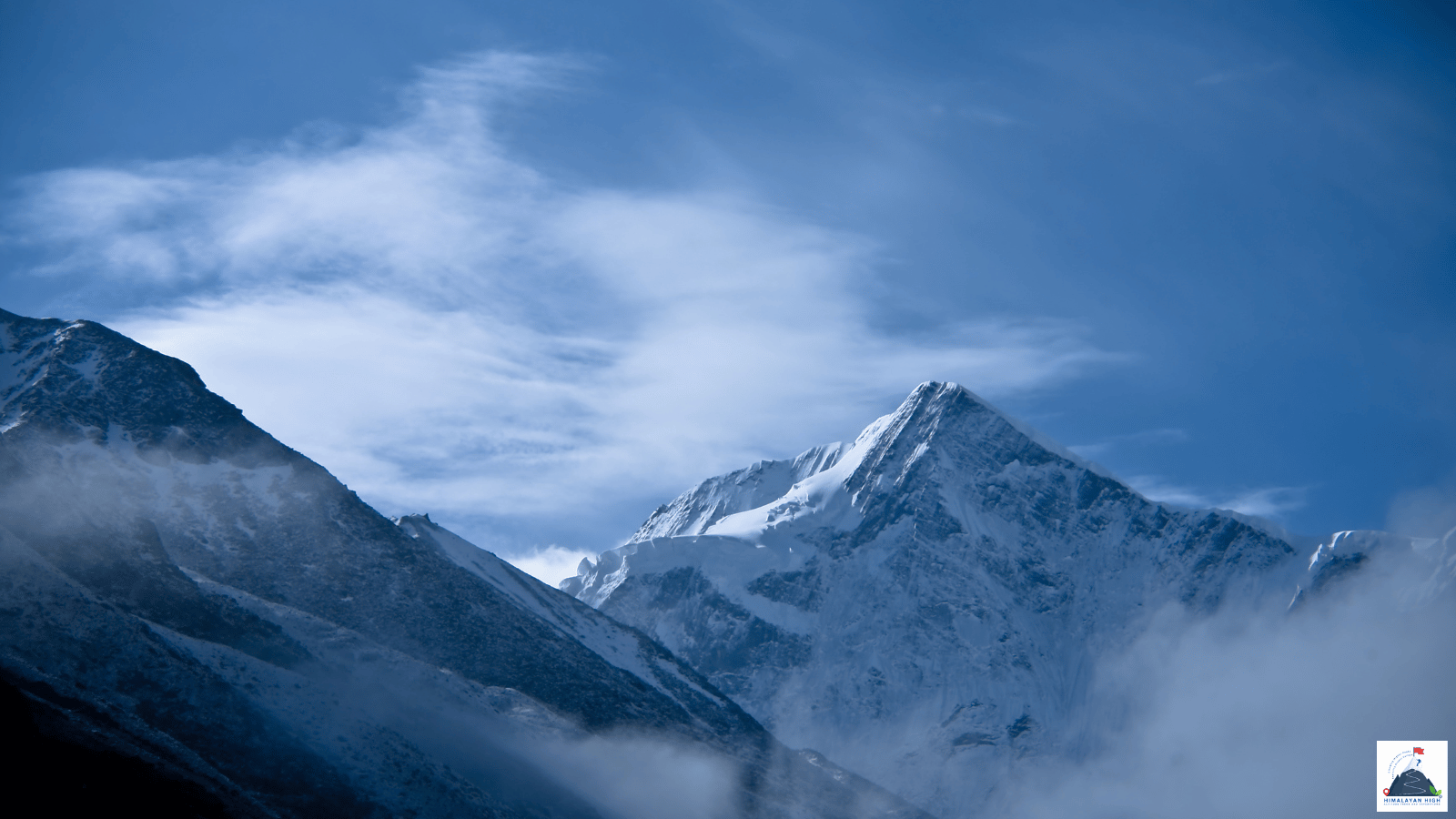
Badrinath, the temple town at about 3,100 m, stands in the upper Alaknanda valley. It is about 297 km up the Badrinath highway from Rishikesh, and the town stays shut from November until late April or May.
Region: Uttrakhand - Garhwal
Route hubs: Rishikesh - Devprayag - Srinagar - Rudraprayag - Karnaprayag - Nandprayag - Chamoli - Pipalkoti - Joshimath - Govindghat
Nearest airport
Jolly Grant Airport, Dehradun (DED)
317.00 km • About 11 hr
Nearest railhead
Yog Nagari Rishikesh railway station, Rishikesh (YNRK)
297.00 km • About 10.5 hr
From the airport
Jolly Grant Airport, Dehradun (DED) is the nearest airport, about 317 km from Badrinath by road. It has several flights a day from Delhi and direct flights from Mumbai, Bengaluru, Hyderabad and a number of other cities. Taxis are available at the airport; Rishikesh, where the buses and shared jeeps up the Badrinath road start, is about 20 km away (30 to 45 minutes).
A taxi straight from the airport to Badrinath takes 10 to 12 hours. Even the morning flights land too late to finish that drive in daylight, so plan a night in Rishikesh and leave at first light, or break the journey at Srinagar or Rudraprayag.
From the railway station
Rishikesh is the railhead, about 297 km from Badrinath. It has two stations about 2 km apart: the newer Yog Nagari Rishikesh (YNRK), where long-distance trains such as the Doon, Ujjaini and Kalinga Utkal Expresses terminate, and the older Rishikesh station (RKSH) in town, so check which one your ticket names. Haridwar Junction (HW), about 24 km further south, has trains from most major Indian cities, and early buses for Badrinath leave from there too.
From either Rishikesh station the bus stand is 1 to 2.5 km away, a few minutes by auto-rickshaw. The drive takes most of a day, so a train arriving after about midday means a night in Rishikesh or Haridwar first. Kotdwar (KTW), about 327 km away by road, is worth using only if your train goes there. The Rishikesh–Karnaprayag railway is still being built and carries no passengers yet.
By road
Badrinath stands in the upper Alaknanda valley on NH7, the Badrinath highway, about 297 km from Rishikesh; the road ends 3 km further on at Mana. From Rishikesh it follows the Ganga and then the Alaknanda upstream through Devprayag (about 70 km), Srinagar and Rudraprayag (about 140 km, 4 to 5 hours). It continues via Gauchar, Karnaprayag, Nandprayag, Chamoli and Pipalkoti to Joshimath (also called Jyotirmath), about 113 km and 3.5 to 4.5 hours beyond Rudraprayag. Much of this is the widened Char Dham highway, but slips and repair works still slow it in places.
The last 45 km from Joshimath take 1.5 to 2 hours. The road drops to Vishnuprayag, passes Govindghat (the base for the Valley of Flowers and Hemkund Sahib) and Pandukeshwar, then climbs past the landslide-prone stretch at Lambagad and through Hanuman Chatti to Badrinath. At peak pilgrim times the administration has run a one-way gate system on the stretch through Joshimath, releasing traffic from each side in 30-minute turns. Allow 10 to 11 hours in all from Rishikesh.
In the monsoon (late June to September) landslides regularly block the road, most often around Pipalkoti, Helang, Joshimath and Lambagad. In winter the upper road is snowbound (in March 2025 it was still closed beyond Hanuman Chatti), and Badrinath and Mana stay shut from the temple's closing in November until late April or May.
By bus
In the temple season, buses for Badrinath and Joshimath are run by GMOU (Garhwal Motor Owners' Union) and other Garhwal transport co-operatives. They leave Haridwar (GMOU's stand is near the Rahi Motel) and Rishikesh in the early morning, from about 4.30 or 5 am; a bus that leaves later in the day may go only part of the way and halt overnight. The through journey takes a full day. Uttarakhand Roadways' route list also includes Delhi (Kashmiri Gate) to Badrinath and Haridwar or Dehradun to Joshimath; check its current timetable before relying on these.
Buses are slow and can be crowded. If you are trekking the next day, a shared jeep, or a taxi shared by your group, is far more comfortable.
Local transfers
Joshimath is the practical last change: shared taxis and a few buses for Badrinath and Govindghat leave from the stand in town. In Badrinath, vehicles stop at the bus stand at the southern end of town; the temple is a short walk away, across the Alaknanda bridge and past the Tapt Kund hot springs. Mana, the start of the Vasudhara Falls walk and the Satopanth Tal trek, is 3 km further up the road, a short taxi ride. From Rishikesh, allow one day to Joshimath and continue through Badrinath to Mana the next morning.
Distances from major points
- Jolly Grant Airport (Dehradun) to Rishikesh: about 20 km
- Haridwar to Rishikesh: about 24 km
- Rishikesh to Devprayag: about 70 km
- Rishikesh to Rudraprayag: about 140 km
- Rudraprayag to Joshimath: about 113 km
- Karnaprayag to Joshimath: about 81 km
- Rishikesh to Joshimath: about 250 km
- Joshimath to Govindghat: about 20 km
- Joshimath to Badrinath: about 45 km
- Badrinath to Mana: about 3 km
- Rishikesh to Badrinath: about 297 km
- Haridwar to Badrinath: about 320 km
- Jolly Grant Airport to Badrinath: about 317 km
- Kotdwar to Badrinath: about 327 km
Good to know
Badrinath (about 3,100 m) is the temple town in the upper Alaknanda valley and the last town before Mana, where the Vasudhara Falls walk and the Satopanth Tal trek begin. The temple, and with it most hotels, ashrams and eating places, is open only from late April or May until November; the dates are announced each year.
Registration for the Char Dham Yatra is compulsory if you visit in the temple season. Register free on Uttarakhand Tourism's registration portal or the Tourist Care Uttarakhand app before you set out (counters also operate in Haridwar and Rishikesh), and carry the registration letter, as it is checked at the Dham.
Fill up and draw cash in Joshimath: Badrinath has a filling station and ATMs, but the ATMs can run out of cash in the busiest weeks. BSNL and Jio usually work in Badrinath and Mana, with no signal beyond Mana. Treks beyond Mana, such as Satopanth Tal, run close to the Tibet border and need permits, which your trek operator arranges in advance; carry original photo ID (foreign nationals: passport and visa).
Safety
Keep at least one spare day: a single landslide can stop traffic for hours or longer (debris blocked the road near Helang in August 2026), and delays are worst in the monsoon. In the 2026 yatra season passenger vehicles were barred from the Char Dham roads between 10 pm and 4 am, so plan to drive in daylight. Badrinath is at about 3,100 m, more than 2,500 m above Rishikesh: sleep at Joshimath (about 1,875 m) on the way up, drink plenty, and check the road each morning with your driver, hotel or the police.
Travel tips
- Plan buffer time for road delays, especially in monsoon and winter.
- Start early for long drives to avoid night stretches on mountain roads.
- Keep offline maps and cash as backup in low-network zones.
- If you are continuing to high altitude areas, acclimatize and hydrate well.