How to reach Kargil
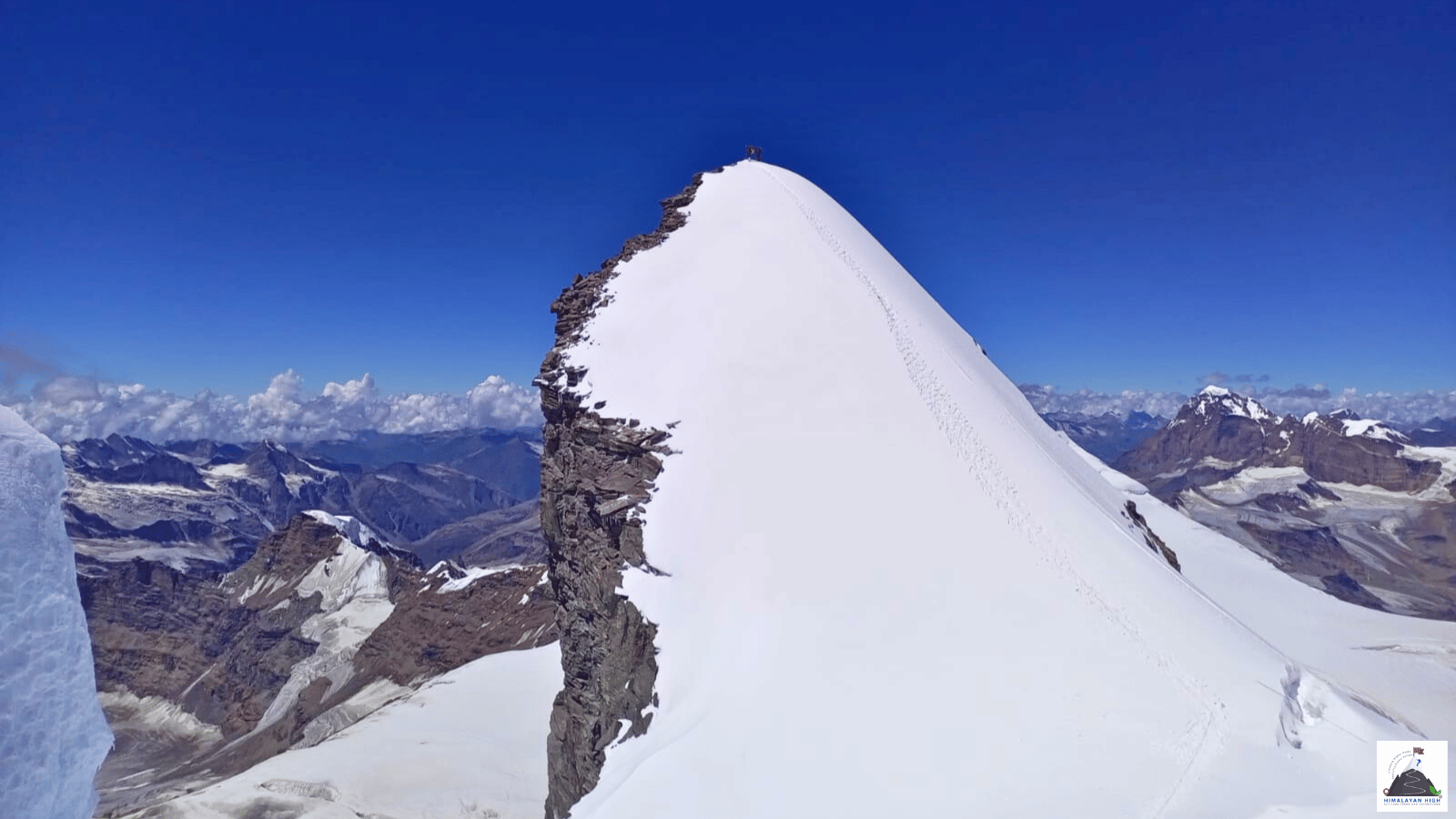
Kargil sits at about 2,680 m on the Suru river, roughly halfway between Srinagar and Leh. The Leh road is open most of the year; snow can shut Zoji La on the Srinagar road at short notice, so keep a spare day.
Region: Ladakh
Route hubs: Leh - Nimmu - Khalatse - Lamayuru - Mulbekh - Kargil
Nearest airport
Kushok Bakula Rimpochee Airport, Leh (IXL)
215.00 km • About 5 hr
Nearest railhead
Srinagar railway station (Nowgam), Srinagar (SINA)
210.00 km • About 7 hr
From the airport
Leh's Kushok Bakula Rimpochee Airport (IXL) is the most useful. Flights from Delhi run daily through the year, with fewer from Jammu, Chandigarh and Srinagar, and all flights operate in the morning because of the afternoon winds. Prepaid taxis wait outside the terminal, and Kargil is about 215 km and 5 to 6 hours away. Leh is at 3,500 m, so rest there for at least two full days before driving on, as Ladakh's tourism department asks of everyone arriving by air. Srinagar airport (SXR), also about 215 km from Kargil, is the alternative while Zoji La is open; taxis have booths outside the terminal, but the crossing makes a long day, so plan to set off early the morning after you land. Kargil's own airstrip is an Indian Air Force field with no scheduled passenger flights; opening it to civil flights was still under review in 2026.
From the railway station
Ladakh has no railway. The nearest station is Srinagar (SINA) at Nowgam, about 8 km from the city centre, which has had through trains from the rest of India since the Jammu–Baramulla line was completed in June 2025. Vande Bharat trains from Jammu Tawi, calling at Katra, take just under 5 hours; the morning train leaves Jammu at 06:20 and reaches Srinagar at 11:10, every day except Tuesday (check the current timetable before booking). From the station it is about 210 km and 6 to 8 hours by road to Kargil, too far to start after a midday arrival, so take a taxi into Srinagar or on to Sonamarg for the night and cross Zoji La early the next morning. While Zoji La is closed, leave the train at Jammu Tawi and fly from Jammu to Leh instead.
By road
Kargil sits on NH1, the Srinagar–Leh highway, at about 2,680 m on the Suru river near where the Wakha Rong joins it, roughly halfway between Srinagar and Leh. From Leh the road follows the Indus west through Nimmu and Khalatse, climbs past Lamayuru to Fotu La (4,108 m), the highest point on the highway, crosses Namika La (3,700 m) and drops through Mulbekh down the Wakha valley to Kargil: about 215 to 220 km and 5 to 6 hours with stops. The Leh side stays open for most of the year, so it is the more reliable approach outside summer.
From Srinagar the highway runs up the Sind valley through the Z-Morh tunnel (opened in January 2025) to Sonamarg, about 80 km and 2 to 3 hours, then climbs the narrow, rough road over Zoji La (3,528 m) to Drass, about 63 km on, and follows the Drass river down to Kargil, another 55 to 60 km: about 205 km and 6 to 8 hours in all. Zoji La is the weak point. Ladakh's tourism department still describes it as closed from November to May; in the last two winters the Border Roads Organisation kept it open far longer, but snow and avalanches still close it for days at a time, even in spring. The tunnel beneath the pass is still being built, with opening targeted for 2028.
By bus
Government buses run at least once a day from Kargil to towns along the Srinagar–Leh highway, and the two-day Srinagar–Leh buses stop here overnight while Zoji La is open. Buses to Padum, which also serve Rangdum, run on alternate days once the Pensi La road opens, usually from mid-June, and the Suru valley as far as Panikhar has about two buses a day. The ticket office is in a large unmarked stone building down a small lane near the bus stand; buy your ticket a day ahead and check the departure time then, as schedules change with the season. Buses are cheaper but slower than the shared jeeps.
Local transfers
Kargil is small enough to walk across, and most hotels are around the Main Bazaar and the bus stand. Shared jeeps, faster than the buses, leave from near the bus stand on Main Bazaar; ask about departures there the evening before. The Suru valley road runs from Kargil past Sankoo and Panikhar to Tangol, the Mt Nun roadhead, 2 to 3 hours beyond Kargil. Coming back from Padum over Pensi La, you can spend a night in Kargil before the drive to Leh. Kargil is a better place than Padum to stock up on dried apricots, nuts and fresh vegetables.
Distances from major points
- Leh to Kargil via Lamayuru and Fotu La: about 215 to 220 km (5 to 6 hours)
- Leh to Lamayuru: about 115 to 125 km
- Lamayuru to Kargil: about 100 to 110 km
- Mulbekh to Kargil: about 40 km
- Srinagar to Kargil via Zoji La: about 205 km (6 to 8 hours)
- Srinagar to Sonamarg: about 80 km
- Sonamarg to Drass over Zoji La: about 63 to 65 km
- Drass to Kargil: about 55 to 60 km
- Jammu to Kargil via Srinagar: about 440 km
- Kargil to Sankoo: about 40 km
- Kargil to Panikhar: about 70 km
- Kargil to Tangol, the Nun Kun roadhead: about 75 km (2 to 3 hours)
- Kargil to Rangdum: about 130 km
- Kargil to Padum over Pensi La: about 235 km (8 to 10 hours)
Good to know
Kargil, the second-largest town in Ladakh, is the usual overnight stop between Srinagar and Leh and the starting point for the Suru valley, Nun Kun and the road to Zanskar. At about 2,680 m it is lower than Leh, which makes it a gentler first night for travellers coming up by road from Srinagar. It has hotels in several classes, guesthouses and a government Tourist Reception Centre with tourist bungalows, and there are further government bungalows at Drass, Mulbekh, Sankoo, Panikhar, Rangdum and Padum.
No Inner Line Permit or Protected Area Permit is needed for Kargil, the Srinagar–Leh highway, the Suru valley or Zanskar, but carry photo ID at all times, and foreign nationals their passports. Border areas off the main roads, such as Batalik, may need separate permission, so ask at the tourist office in Kargil before going.
Kargil has branches of J&K Bank, SBI, Punjab National Bank, HDFC Bank and Axis Bank; draw the cash you need here before heading up the Suru valley. Prepaid SIM cards bought elsewhere in India do not work in Ladakh, so bring a postpaid connection. Kargil is a conservative, mainly Muslim town, so dress modestly.
Safety
Keep at least one spare day on either side of a journey over Zoji La: snow can fall there from early September and close it at short notice until spring, so start early and cross in daylight. Cloudbursts and flash floods cut roads around Kargil and in Zanskar mainly in July and August. Kargil, at about 2,680 m, is lower than Leh, but the Leh road crosses Fotu La at 4,108 m, so make that drive only once you are acclimatised. Check the road status locally before setting out.
Travel tips
- Plan buffer time for road delays, especially in monsoon and winter.
- Start early for long drives to avoid night stretches on mountain roads.
- Keep offline maps and cash as backup in low-network zones.
- If you are continuing to high altitude areas, acclimatize and hydrate well.