How to reach Nubra Valley
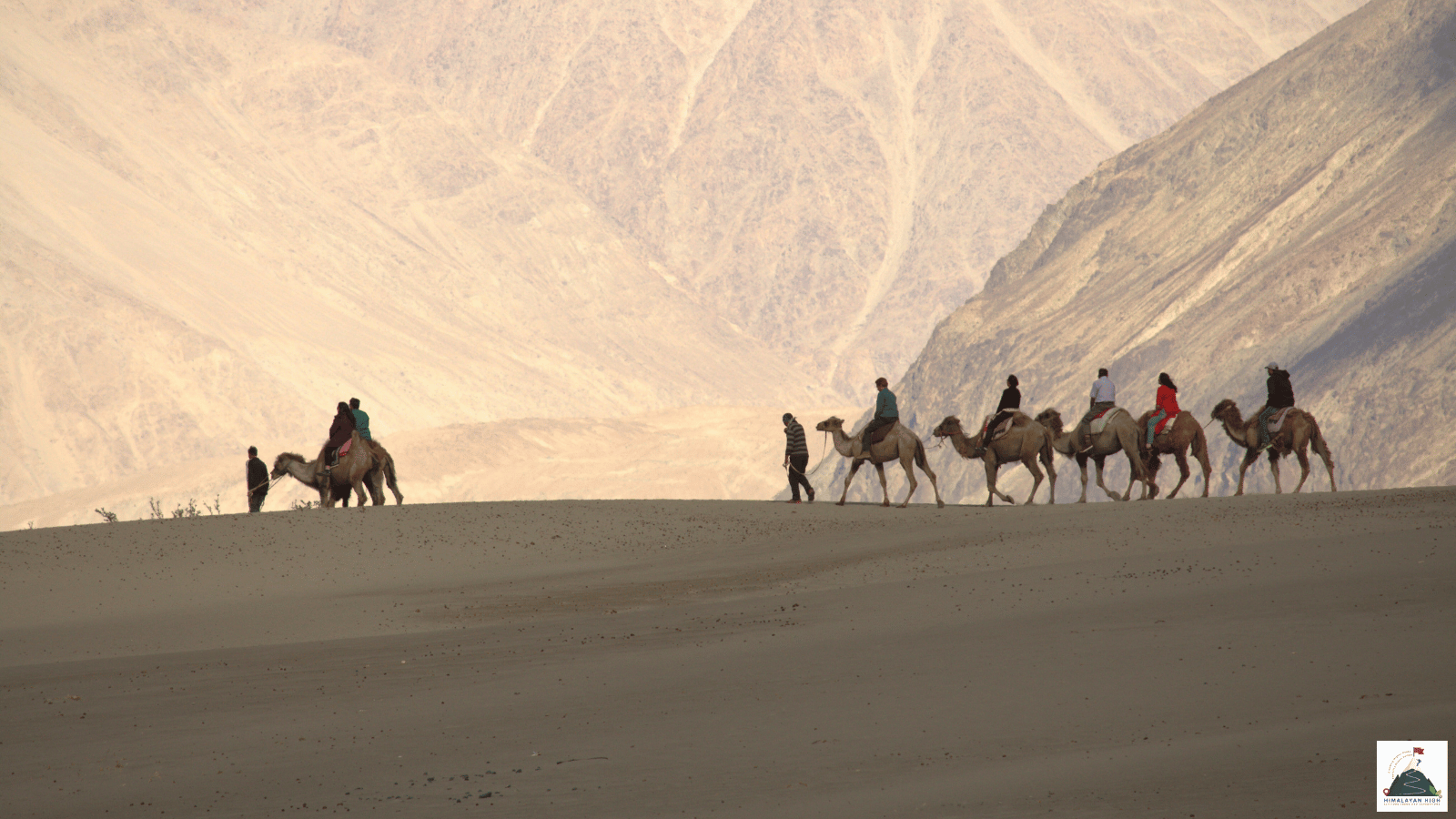
Nubra Valley lies at about 3,000 to 3,200 m, over Khardung La (5,359 m) from Leh. Spend at least two nights in Leh first, and carry cash: there are no reliable ATMs beyond Leh and cards are rarely accepted.
Region: Ladakh
Route hubs: Leh - Khardung La - Khardung - Khalsar - Diskit - Hunder
Nearest airport
Kushok Bakula Rimpochee Airport, Leh (IXL)
125.00 km • About 5.5 hr
Nearest railhead
Srinagar railway station (Nowgam), Srinagar (SINA)
550.00 km • About 17.5 hr
From the airport
Kushok Bakula Rimpochee Airport at Leh (IXL), about 5 km from the town centre, is the only practical airport. Delhi has several flights a day through the year, and there are also direct flights from Jammu, Chandigarh and Srinagar; most travellers from elsewhere connect through Delhi. All flights land in the morning because of the afternoon winds, and winter weather can cancel them. Taxis from the airport are prepaid at the counter. Diskit is about 125 km beyond the airport, a full day's drive over Khardung La, so do not go on to Nubra on the day you land.
From the railway station
Ladakh has no railway. The nearest station is Srinagar (SINA) at Nowgam, about 8 km from the city centre, linked to the rest of the network since the Jammu to Baramulla line opened throughout in June 2025. Vande Bharat trains from Jammu Tawi, via Katra, take about 5 hours. From Srinagar it is about 422 to 434 km by road to Leh through Sonamarg, Zoji La, Drass and Kargil, two long days with a night in Kargil, then about 120 km more over Khardung La, roughly 550 km in all. JKSRTC runs a two-day Srinagar to Leh bus in season. Zoji La is now kept open far longer into winter than it once was, but snow can still close it for days or weeks, mostly between January and April, and the Zojila tunnel is still being built. If Zoji La is shut, take a train to Jammu Tawi and fly to Leh.
By road
Nubra is reached from Leh over Khardung La. The road climbs north out of Leh in a long series of hairpins, past the South Pullu checkpost where permits are checked, to the pass at 5,359 m, about 40 km from town. It then drops past the North Pullu checkpost and Khardung village to Khalsar on the Shyok river, where the road divides. The left branch follows the Shyok to Diskit, about 116 to 120 km and 5 to 6 hours from Leh, with Hunder a few kilometres further on and Turtuk about 80 to 95 km (3 to 4 hours) down the river from Diskit. The right branch turns up the Nubra river to Sumur and Panamik, 6 to 7 hours from Leh.
The Border Roads Organisation maintains the road, but the stretches either side of the summit are narrow and broken in places, with slush and one-lane jams in the busy months. Khardung La has no fixed winter closure, yet snow can shut it for hours or days, mostly between November and April. Two rougher, less-used roads also reach the valley: over Wari La from Sakti, joining the Shyok at Agham, and along the Shyok from Durbuk near Pangong Tso.
By bus
Jammu and Kashmir State Road Transport Corporation (JKSRTC) buses leave the Leh bus stand for Nubra early in the morning in the summer season; the latest timetable gives 6 am and a season of mid-May to September. Diskit has buses on Tuesday, Thursday and Saturday, taking 6 to 7 hours and returning early the next morning. The Skuru bus, via Diskit and Hunder, runs on Tuesday and Thursday, Turtuk has one bus a week on Saturday, and Sumur and Panamik have buses on one or two days a week. Some travellers report a daily Diskit bus, so check at the Leh bus stand the day before. There is no online booking. Within the valley a bus leaves the Diskit bus stand for Turtuk at about 2.30 pm on most days, taking 3 to 4 hours.
Local transfers
Shared taxis to Diskit and Panamik leave from the stand next to the Polo Ground in Leh, usually between 7 and 8 am once they fill up; go the evening before to ask. In Diskit, local taxis and the afternoon Turtuk bus from the bus stand cover Hunder and the villages downstream. On the Lasermo La trek you walk into Nubra instead of driving: from Phyang, near Leh, over Lasermo La (about 5,420 m) to Hunder. Whichever way you come, leave early so you reach the valley with daylight to spare.
Distances from major points
- Leh to Khardung La: about 40 km
- Leh to Diskit via Khardung La and Khalsar: about 116 to 120 km (5 to 6 hours)
- Diskit to Hunder: about 7 to 10 km
- Diskit to Turtuk: about 80 to 95 km (3 to 4 hours)
- Leh to Panamik via Khalsar and Sumur: 6 to 7 hours
- Srinagar to Leh via Zoji La and Kargil: about 422 to 434 km (two days)
- Manali to Leh via the Atal Tunnel: about 428 km (usually two days, open from about May or June to October)
Good to know
Nubra is the wide valley of the Shyok and Nubra rivers north of Khardung La, lying at about 3,000 to 3,200 m, lower than Leh. Spend at least two nights in Leh first: the Leh administration asks every visitor arriving there to rest for 48 hours before going higher.
Indian citizens have not needed an Inner Line Permit since August 2021, but must pay the environment fee, Red Cross contribution and wildlife fee on the official LAHDC Leh permit portal or through a Leh travel agent, and should carry several printed copies with photo ID for the checkposts. Foreign nationals need a Protected Area Permit, usually arranged through a travel agent in Leh; citizens of China, Pakistan and Afghanistan need Home Ministry clearance.
Diskit has the most hotels and guesthouses; Hunder and Turtuk have guesthouses and homestays. Diskit has a petrol pump, but supply can run short, so fill up in Leh. There are no reliable ATMs beyond Leh and cards are rarely accepted, so carry enough cash. Prepaid SIMs from elsewhere in India do not work in Ladakh, so bring a postpaid connection; signal is found around Diskit and Hunder but drops out on the pass.
Safety
Khardung La (5,359 m) is far higher than anywhere you sleep in Nubra (about 3,000 to 3,200 m), so cross only once you are acclimatised, keep the stop at the top short and go down if a headache or breathlessness gets worse. Snow can close the pass at short notice even in spring and autumn, and summer meltwater or cloudbursts cut the road at times. Keep a spare day before any flight out of Leh, and ask about the pass at your hotel or the South Pullu checkpost before setting off.
Travel tips
- Plan buffer time for road delays, especially in monsoon and winter.
- Start early for long drives to avoid night stretches on mountain roads.
- Keep offline maps and cash as backup in low-network zones.
- If you are continuing to high altitude areas, acclimatize and hydrate well.