How to reach Darjeeling
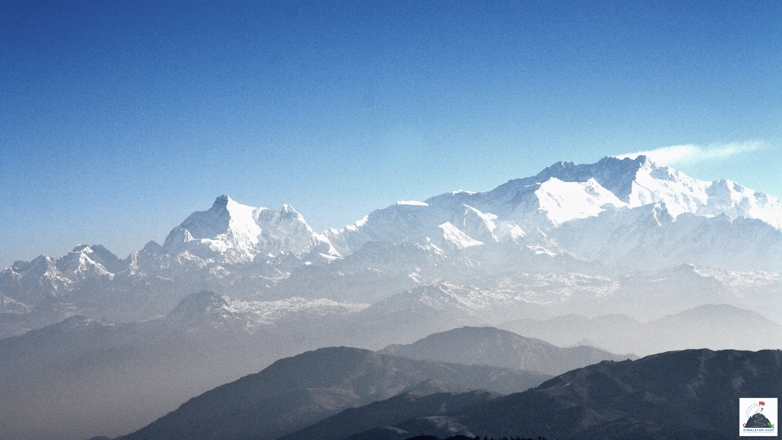
Darjeeling sits at about 2,045 m on a ridge north of Ghum, facing Kangchenjunga. Bagdogra and NJP are about 3 hours away by road; from June to September, heavy rain regularly closes stretches of the hill roads.
Region: Darjeeling Sikkim
Route hubs: Siliguri - Sukna - Kurseong - Sonada - Ghum - Darjeeling
Nearest airport
Bagdogra Airport, Siliguri (IXB)
72.00 km • About 3 hr
Nearest railhead
New Jalpaiguri Junction, Siliguri (NJP)
73.00 km • About 3 hr
From the airport
Bagdogra Airport (IXB), about 12 to 14 km west of central Siliguri, is the airport for Darjeeling, with direct flights from Delhi, Kolkata, Mumbai, Bengaluru, Chennai, Hyderabad and Guwahati among others, and Drukair flights from Paro and Bangkok. Darjeeling is about 70 to 73 km away by the usual taxi route through Matigara, Rohini Road and Kurseong: around 3 hours by car. Book a car at the prepaid taxi counter in the arrivals hall beside the exit, or arrange a pick-up in advance. There is no airport bus or official shared taxi to Darjeeling. For a shared jeep, first go about 16 km (around 35 minutes) into Siliguri, to the jeep stand beside the Tenzing Norgay bus terminus; local vehicles to Siliguri sometimes wait outside the exit, or can be flagged down on the main road a few minutes' walk away.
From the railway station
New Jalpaiguri Junction (NJP) in Siliguri is the railhead, with Vande Bharat, Shatabdi and overnight trains from Kolkata, Rajdhani services from Delhi, and trains from Guwahati and Patna. Darjeeling is about 73 km by the usual Rohini Road route (81 to 85 km if the driver stays on Hill Cart Road), around 3 hours by car. The prepaid taxi booth is opposite the station entrance, and shared jeeps for Darjeeling wait outside and leave when their ten seats fill. If none is loading, take an auto-rickshaw about 8 km to the jeep stand beside the Tenzing Norgay bus terminus in Pradhan Nagar, next to Siliguri Junction (SGUJ) station.
The Darjeeling Himalayan Railway toy train also runs from NJP to Darjeeling (DJ), 88 km in about 7.5 to 8.5 hours. It is a heritage ride rather than a practical transfer, and landslides often suspend the through train in the monsoon, so check on IRCTC before you plan around it.
By road
Every road to Darjeeling starts in the plains around Siliguri. The main one is Hill Cart Road (NH110), about 77 km from Darjeeling More in Siliguri through Sukna, Rangtong, Tindharia, Kurseong and Sonada to Ghum. Most taxis shorten the lower half: beyond Matigara they turn off at Simulbari onto Rohini Road (also called Subash Ghising Marg), a steep, winding road that rejoins the highway at Kurseong. From Kurseong it is about 31 km, climbing to Ghum (about 2,250 m, the highest point) and then dropping 7 to 8 km into Darjeeling. Allow 3 to 3.5 hours from Siliguri, NJP or Bagdogra, more in peak-season traffic.
The narrow Pankhabari road also reaches Kurseong but is normally kept for downhill traffic. The longer road through Mirik and Sukhiapokhari branches off at Dudhia, joins Hill Cart Road at Ghum and takes about 4.5 hours. Its Balason crossing at Dudhia was washed away in October 2025 and again in June 2026; a Bailey bridge reopened it in July 2026, so check it before taking that road in wet weather. Landslides have also closed Hill Cart Road (at Mahanadi, Pagla Jhora and Tindharia) and Rohini Road in recent years; drivers switch to whichever road is open. From Kalimpong (about 50 km) or Gangtok (about 98 km) you come up the Peshok road from the Teesta bridge to Jorebunglow and Ghum.
By bus
North Bengal State Transport Corporation (NBSTC) buses leave Siliguri's Tenzing Norgay Central Bus Terminus on Hill Cart Road for Darjeeling in the morning only: the current timetable lists departures between 5 am and 10:30 am, and none in the afternoon. They climb Hill Cart Road through Kurseong and Ghum, stop often and take about 3.5 to 4 hours, ending at the Darjeeling bus stand on Lebong Cart Road near Chowk Bazaar. The buses go back down to Siliguri in the afternoon, but the return times are not on NBSTC's published timetable, so ask at the Darjeeling bus stand. There is no bus between Darjeeling and Gangtok; shared jeeps from Chowk Bazaar, mostly between 8 am and 2 pm, are the public option.
Local transfers
Taxis from the plains stop at the Clubside stands on Gandhi Road and Laden La Road in the upper town, or at the motor stand on Lebong Cart Road by Chowk Bazaar, where buses also terminate. Around Chowrasta and the Mall no vehicles are allowed, so expect a walk to hotels there; the climb from Chowk Bazaar takes about 30 minutes. For the Sandakphu trek, Maneybhanjyang is 26 km away via Ghum and Sukhiapokhari, 1 to 1.25 hours by jeep. Direct shared jeeps leave Darjeeling until about 2 pm; later, take one to Sukhiapokhari and change, or book a taxi from Chowk Bazaar or Clubside.
Distances from major points
- Bagdogra Airport to Darjeeling via Matigara, Rohini Road and Kurseong: about 70 to 73 km
- Bagdogra Airport to Darjeeling via Siliguri and the whole of Hill Cart Road: about 90 km
- New Jalpaiguri (NJP) to Darjeeling: about 73 km via Rohini Road, about 81 to 85 km on Hill Cart Road throughout
- Siliguri (Darjeeling More) to Darjeeling on Hill Cart Road (NH110): about 77 km
- Siliguri to Darjeeling via Dudhia, Mirik and Sukhiapokhari: about 90 to 100 km
- Bagdogra Airport to the Tenzing Norgay bus terminus, Siliguri: about 16 km
- NJP to the Tenzing Norgay bus terminus, Siliguri: about 8 km
- Kurseong to Darjeeling: about 31 km
- Ghum to Darjeeling: about 7 to 8 km
- Darjeeling to Maneybhanjyang (Sandakphu trailhead) via Ghum and Sukhiapokhari: about 26 km
- Darjeeling to Mirik via Sukhiapokhari: about 45 to 49 km
- Darjeeling to Kalimpong via the Peshok road and the Teesta bridge: about 50 to 55 km
- Darjeeling to Gangtok via the Peshok road, Teesta, Melli and Rangpo: about 95 to 100 km
- NJP to Darjeeling by the toy train: 88 km of track
Good to know
Darjeeling sits at about 2,045 m on a ridge running north from Ghum, facing Kangchenjunga, and is the usual base for the tea estates, the toy train and the Singalila ridge. If you reach Bagdogra or NJP after mid-afternoon, stay the night in Siliguri rather than drive up in the dark: hotels around Matigara, Darjeeling More and Bagdogra suit an early start, and NJP station has railway retiring rooms for passengers with confirmed tickets.
Darjeeling itself needs no permit, for Indian or foreign visitors. Foreign nationals going on into Sikkim need the Sikkim Restricted Area Permit, which since January 2026 must be obtained online in advance through the e-FRRO portal; it is no longer issued at the Rangpo or Melli checkposts. For Sandakphu, Singalila National Park charges an entry fee and trekkers must take a licensed guide, both arranged at Maneybhanjyang; carry your passport or photo ID, and note that the park is closed from 16 June to 15 September. Sandakphu is about 3,636 m, so a night or two in Darjeeling first helps you acclimatise. January nights fall to around 2 °C; June to September brings about four-fifths of the year's rain, and mid-September to early December and March to May are the usual seasons for views and trekking.
Safety
Plan to arrive in daylight: the roads are steep and winding, fog can cut visibility after dark, and a 3-hour drive can take far longer in peak-season traffic or after a landslide. From June to September heavy rain regularly closes stretches of Hill Cart Road, Rohini Road or the Mirik road, and the October 2025 storms showed it can happen after the monsoon too. Keep a spare day before an onward flight or train, and ask your driver or hotel which road is open that morning. At about 2,045 m, Darjeeling is not high enough to trouble most visitors.
Travel tips
- Plan buffer time for road delays, especially in monsoon and winter.
- Start early for long drives to avoid night stretches on mountain roads.
- Keep offline maps and cash as backup in low-network zones.
- If you are continuing to high altitude areas, acclimatize and hydrate well.