How to reach Ravangla
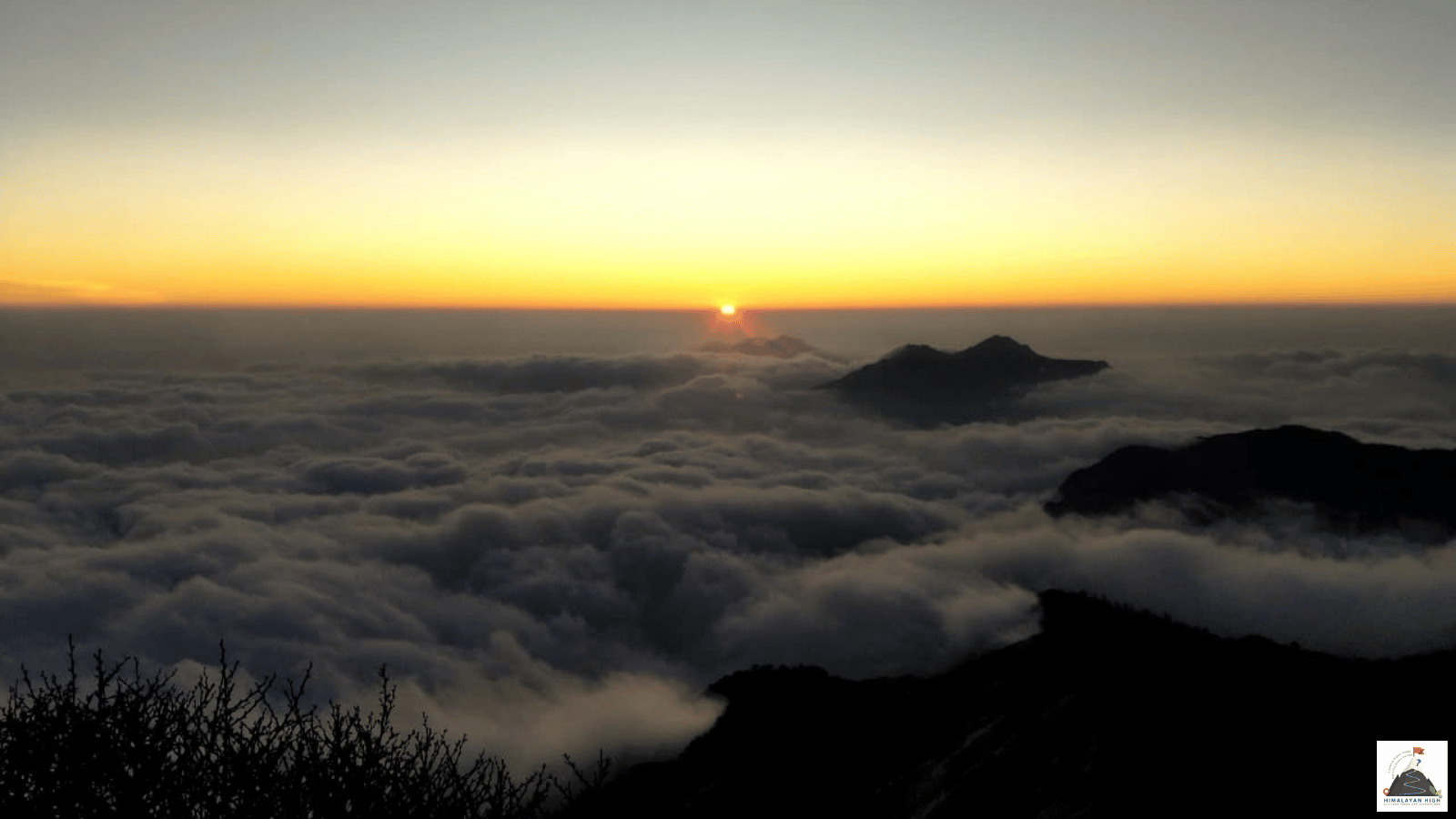
Ravangla, at roughly 2,100 to 2,400 m in Namchi district, is about 117 km from Siliguri. The road follows NH10 to Melli and climbs through Namchi; foreign nationals need a Sikkim Restricted Area Permit approved online.
Region: Darjeeling Sikkim
Route hubs: Siliguri - Sevoke - Teesta Bazaar - Melli - Namchi - Damthang - Ravangla
Nearest airport
Bagdogra Airport, Siliguri (IXB)
125.00 km • About 5 hr
Nearest railhead
New Jalpaiguri Junction, Siliguri (NJP)
120.00 km • About 5 hr
From the airport
Bagdogra Airport (IXB), about 12 km south-west of Siliguri, has direct flights from Delhi, Kolkata, Mumbai, Bengaluru, Chennai, Hyderabad, Guwahati and other cities. Ravangla is about 125 km and 4.5 to 5.5 hours away by road. Taxis can be hired at the airport, and a car booked right through to Ravangla is the simplest option, and good value shared between three or four people. Travelling alone on a budget, take a taxi into Siliguri, to the SNT bus terminus on Hill Cart Road, for buses and shared jeeps. Land by early afternoon if you want to reach Ravangla before dark. Pakyong Airport near Gangtok, about 75 km from Ravangla, has no scheduled flights at present and handled no passengers in 2025-26, so do not plan around it; check before you travel.
From the railway station
New Jalpaiguri Junction (NJP) in Siliguri is the main railhead, with through trains from Kolkata (including Vande Bharat services), Delhi (several Rajdhanis), Guwahati and many other cities. Ravangla is about 120 km and 4.5 to 5.5 hours by road. Pre-paid and private taxis wait at the station; otherwise take an auto or taxi about 8 km to the Tenzing Norgay Central Bus Terminus and the SNT stand on Hill Cart Road for buses and shared jeeps. A few trains, such as the Sikkim Mahananda Express from Delhi, stop at Siliguri Junction (SGUJ) instead of NJP, right beside those bus stands. An overnight train that reaches NJP early in the morning leaves time to reach Ravangla the same day. Sikkim has no railway yet: the Sevoke–Rangpo line, with a station planned at Melli on this road, is targeted for completion in December 2027.
By road
From Siliguri, Bagdogra or New Jalpaiguri the road follows NH10 up the Teesta valley to Melli, where you enter Sikkim, then climbs through Namchi: about 115 to 128 km, usually 4.5 to 5.5 hours with a stop.
- Siliguri to Melli, about 58 km, 2 to 2.5 hours: through Sevoke, then up the narrow Teesta gorge past Kalijhora and Teesta Bazaar.
- Melli to Namchi, about 34 km, 1 to 1.5 hours: NH710 climbs through Manpur to Namchi, at about 1,300 m. Drivers often go by Jorethang instead, about 10 km longer.
- Namchi to Ravangla, about 26 km, 45 minutes to 1 hour: on up past Damthang.
From Gangtok it is about 65 to 75 km, 2.5 to 3 hours, via Singtam and Temi; from Pelling about 45 to 55 km, 2 to 3 hours, via Legship. NH10 is prone to landslides, above all from June to September, and parts of it collapsed in the October 2023 flood. If it is blocked, drivers can go round through Darjeeling and down to Jorethang, a rougher road and a day of 7 hours or more; foreigners should first check that they may enter Sikkim this way.
Foreign nationals need a Sikkim Restricted Area Permit. Since January 2026 it is issued only online, through the e-FRRO portal, and must be approved before you reach the Melli check post; it is no longer issued at Bagdogra, Siliguri or Melli.
By bus
Sikkim Nationalised Transport (SNT) buses leave from the SNT terminus on Hill Cart Road, Siliguri, beside Siliguri Junction station and the Tenzing Norgay Central Bus Terminus. The current published schedule has no direct bus to Ravangla, but lists departures for Jorethang at 10.30 am and 1.30 pm and for Namchi at 1 pm. From Jorethang (about 2 hours) or Namchi (45 minutes to an hour), shared jeeps continue to Ravangla. Shared jeeps carrying about ten passengers also run from Siliguri to Jorethang during the day; they leave when full, with no fixed timetable. Take the morning bus or an early jeep if you want to reach Ravangla by evening. Timings change, so check with the SNT booking office in Siliguri before you travel.
Local transfers
Shared jeeps and taxis arrive at and leave from the crossing at the southern end of Ravangla market. Sikkim Tourism's information centre is at Buddha Park (Tathagata Tsal), 1 to 2 km from the market. The Ravangla Maenam trek starts and ends in the town itself: the trail climbs about 1,000 m over roughly 12 km through rhododendron forest to Maenam, at about 3,200 m. Entry to Maenam Wildlife Sanctuary needs a permit or registration, so carry photo ID. Reach Ravangla the day before you start walking. For sightseeing around Ravangla hire a local taxi, as shared jeeps are not practical for it.
Good to know
Ravangla is a small town in Namchi district (formerly South Sikkim), reached by road from NJP, Siliguri or Bagdogra along NH10 (numbered NH31A until 2010) and then via Namchi. Siliguri to Ravangla is about 117 km; the drive takes 4.5 to 5.5 hours.
Safety
Keep a spare day before the trek, above all from June to September, when landslides on NH10 and the hill roads can hold traffic for hours or close a road for days. Do not tie the drive to a same-day flight or train, and avoid the hill roads after dark. Ravangla sits at roughly 2,100 to 2,400 m and the Maenam top at about 3,200 m; nights are cold in winter, and snow sometimes falls on the higher slopes between December and February. Check the road with your driver or hotel the evening before you travel.
Travel tips
- Plan buffer time for road delays, especially in monsoon and winter.
- Start early for long drives to avoid night stretches on mountain roads.
- Keep offline maps and cash as backup in low-network zones.
- If you are continuing to high altitude areas, acclimatize and hydrate well.