How to reach Kalimpong
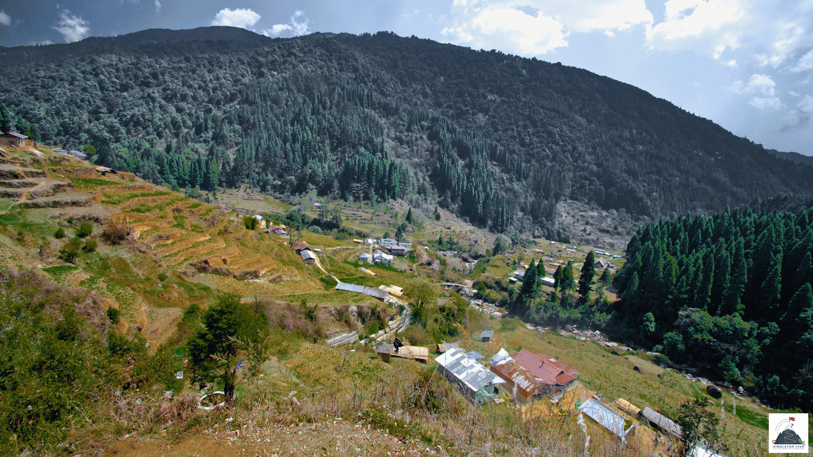
Kalimpong sits at about 1,250 m on a ridge above the Teesta valley. Siliguri is about 2.5 hours away, up the Teesta gorge on NH10; from June to September, landslides can close the highway for several days.
Region: Darjeeling Sikkim
Route hubs: Bagdogra - Siliguri - Sevoke - Kalijhora - Teesta Bazaar - Kalimpong
Nearest airport
Bagdogra Airport, Siliguri (IXB)
78.00 km • About 3 hr
Nearest railhead
New Jalpaiguri Junction, Siliguri (NJP)
74.00 km • About 2.8 hr
From the airport
Bagdogra Airport (IXB), about 12 km south-west of Siliguri, is the airport to use for Kalimpong, with direct flights from Delhi, Kolkata, Mumbai, Bengaluru, Chennai, Hyderabad and Guwahati among others. The drive is about 75 to 80 km and takes roughly 3 hours (2 hours 45 minutes on a clear run). Take a car from the prepaid taxi counter or arrange a pick-up in advance. For a shared jeep, go into Siliguri first and pick one up on Hill Cart Road before about 3 pm.
Pakyong Airport (PYG) in Sikkim is nearer on the map but has had no scheduled flights since mid-2024, so check before planning around it. If flights into Bagdogra are full, flying to Kolkata and taking a train to NJP is a workable alternative.
From the railway station
New Jalpaiguri Junction (NJP) in Siliguri is the practical railhead, about 72 to 75 km from Kalimpong and 2.5 to 3 hours by road. It is on the main lines from Kolkata, Delhi, Guwahati and Patna, with Rajdhani, Vande Bharat and Shatabdi services among many others. Outside the station there are prepaid and private taxis and app-based cabs. For a shared jeep, go about 6 km into Siliguri to the stands on Hill Cart Road near the Tenzing Norgay Bus Terminus, and get there before about 3 pm.
Sivok (SVQ), about 45 km from Kalimpong, is nearer but has far fewer trains, mostly on the Alipurduar line. The Sevoke to Rangpo line, with a station at Teesta Bazaar about 18 km below Kalimpong, is still under construction and not open to passengers in 2026.
By road
The main road to Kalimpong is National Highway 10 (NH10), the Siliguri to Gangtok highway. From Siliguri it runs about 20 to 25 km to Sevoke at the foot of the hills, then follows the Teesta gorge through Kalijhora and Rambi Bazar to Teesta Bazaar. There the highway crosses the river, and a short way beyond the bridge the Kalimpong road turns off and climbs on tight bends to the town at about 1,250 m, about 18 km from Teesta Bazaar. Siliguri to Kalimpong is about 65 to 67 km, roughly 2.5 hours; allow a little more from NJP or Bagdogra for Siliguri traffic.
The gorge road is narrow and exposed to rockfall and landslides at spots such as Likhu Bhir and 27th Mile, and closures of several days are most common from June to September. When NH10 is shut, traffic goes the long way through the Dooars foothills via Gorubathan and climbs through Lava and Algarah to Kalimpong: roughly 150 km from NJP, 4.5 to 6 hours.
From Darjeeling (about 50 to 55 km, around 2.5 hours) the road runs via Ghum and Jorebunglow, down past the Peshok and Lopchu tea estates to the Teesta bridge, and joins the same climb. From Gangtok (about 75 to 80 km, 3 to 3.5 hours) you come down NH10 through Singtam, Rangpo and Melli and turn up to Kalimpong near Teesta Bazaar.
By bus
State-run North Bengal State Transport Corporation (NBSTC) and private buses leave for Kalimpong from Siliguri's Tenzing Norgay Bus Terminus on Hill Cart Road, next to Siliguri Junction station. They run regularly from early morning until mid-afternoon, and the ride takes about 2.5 to 3 hours. From Kalimpong's bus stand near Damber Chowk, Sikkim Nationalised Transport (SNT) and private buses go to Gangtok, and mini coaches run to Darjeeling.
Local transfers
In Kalimpong, buses and shared jeeps work from the motor stand area near Damber Chowk in the town centre. Shared jeeps for Siliguri, Gangtok and nearby towns mostly leave between about 7 am and 3 pm, so plan any same-day onward move for the morning. The town centre is small and walkable; for Deolo, Durpin and the monasteries, hire a local taxi for a half or full day. Plan to reach Kalimpong in daylight.
Distances from major points
- Bagdogra Airport to Kalimpong via Siliguri, Sevoke and Teesta Bazaar: about 75 to 80 km
- New Jalpaiguri (NJP) to Kalimpong: about 72 to 75 km
- Siliguri to Kalimpong: about 65 to 67 km
- Siliguri to Sevoke: about 20 to 25 km
- Teesta Bazaar to Kalimpong: about 18 km
- Darjeeling to Kalimpong via Peshok and Teesta Bazaar: about 50 to 55 km
- Gangtok to Kalimpong via Rangpo and Melli: about 75 to 80 km
- Kalimpong to Lava via Algarah: about 30 to 34 km
- NJP to Kalimpong via Gorubathan and Lava (used when NH10 is closed): roughly 150 km
Good to know
Kalimpong sits at about 1,250 m on a ridge between Deolo and Durpin hills, above the Teesta valley. It is the headquarters of Kalimpong district, known for its orchid and flower nurseries, and the base for trips to Lava, Loleygaon, Pedong and Neora Valley National Park.
If you land late at Bagdogra or arrive late at NJP, spend the night in Siliguri; hotels along Sevoke Road are handy for an early start up the gorge. Kalimpong itself needs no permit. Foreign nationals going on into Sikkim need a Sikkim Restricted Area Permit, which since January 2026 is issued only online, through the e-FRRO portal, and must be approved before you reach the Sikkim border at Rangpo. The monsoon, June to September, brings the heaviest rain, and July is best avoided. Spring (March and April) is pleasant, and winter nights fall to around 8 °C.
Safety
Keep a spare day between Kalimpong and any onward flight or train from Bagdogra or NJP, especially from June to September, when a landslide can close NH10 for several days and the detour adds hours. Fog is common in the monsoon and in winter; avoid driving the Teesta gorge after dark in heavy rain. Check the day's road status with your driver or the local police before setting out. At about 1,250 m, altitude is not a concern here.
Travel tips
- Plan buffer time for road delays, especially in monsoon and winter.
- Start early for long drives to avoid night stretches on mountain roads.
- Keep offline maps and cash as backup in low-network zones.
- If you are continuing to high altitude areas, acclimatize and hydrate well.