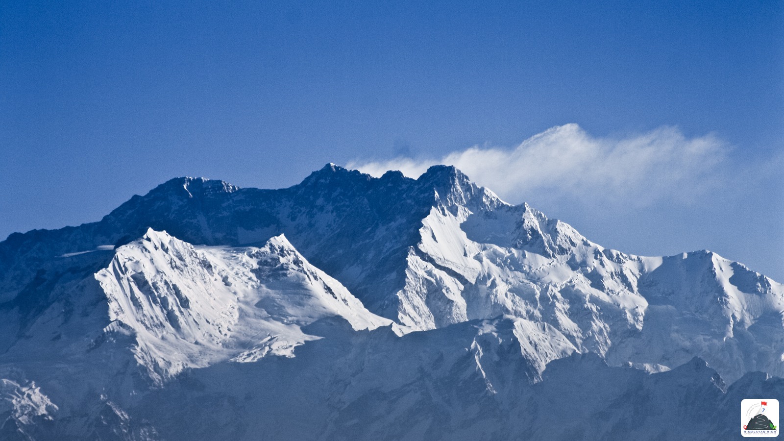
Suketar sits at about 2,400 m on the ridge above Taplejung, in Nepal's far north-east. Fly to Bhadrapur and drive roughly 245 to 255 km up the Mechi Highway; flights to its airstrip have stopped for months at a time.
Region: Kanchenjunga
Route hubs: Bhadrapur - Charali - Ilam - Phidim - Taplejung - Suketar
Nearest airport
Bhadrapur Airport, Jhapa (BDP)
250 km • About 9.5 hr
Nearest railhead
New Jalpaiguri Junction, Siliguri (India) (NJP)
280 km • About 11 hr
Treks that start in Suketar
This trek begins in Suketar. Each page has the full itinerary from day 1.
From the airport
Plan on Bhadrapur Airport (BDP) in Jhapa. Buddha Air, Yeti Airlines and other domestic carriers fly there from Kathmandu several times a day, a flight of 45 minutes. From the terminal, either hire a private jeep for the full-day drive to Suketar, or take a tuk-tuk or taxi for the 25-minute ride to Charali, where shared jeeps leave for Taplejung. Biratnagar (BIR) is the other airport people use, with a drive of similar length.
Suketar has its own small airstrip, Taplejung Airport (TPJ), served mainly by a Nepal Airlines Twin Otter from Kathmandu a few times a week at best. Flights are often cancelled for cloud and have stopped for months at a time: mid-December 2024 to April 2025, July to late September 2025, and again from 6 June 2026, with no restart date set by mid-August 2026. Treat a Suketar flight as a bonus, never the plan. From India, Bagdogra (IXB) is about 22 km from the Kakarbhitta border.
From the railway station
Nepal has no railway anywhere near Suketar. The railhead that is genuinely useful is in India: New Jalpaiguri (NJP) near Siliguri, the natural choice if you are coming by train from Kolkata, Delhi or elsewhere in India. From NJP take a taxi about 36 km, roughly an hour and longer in Siliguri traffic, to Panitanki and cross the Mechi bridge into Kakarbhitta. Indian citizens need a valid passport or a voter ID card with photo; other nationals clear immigration on both sides and can get a Nepal visa on arrival at Kakarbhitta. From there it is a short ride to Charali or Birtamod to join the road north, about 230 km and a full day to Taplejung. An overnight train into NJP lets you cross early; otherwise plan a night in Birtamod.
By road
Suketar sits at about 2,400 m on the ridge just above Taplejung (Phungling), the district headquarters in Nepal's far north-east, and every road approach runs through Taplejung on the Mechi Highway. The drive starts in the Jhapa plains at Bhadrapur or Birtamod, which you reach from Kathmandu by air or overnight bus, or from India across the Kakarbhitta border.
- Bhadrapur to Charali, about 12 to 15 km: the junction where the Mechi Highway crosses the East-West Highway and heads north into the hills.
- Charali to Ilam via Kanyam and Phikkal, about 75 km: a winding climb through the tea gardens, around 3 hours from Bhadrapur.
- Ilam to Phidim and on to Taplejung, about 65 km and then 85 to 90 km: the slower half of the drive, 5 to 7 hours of long climbs and descents.
- Taplejung to Suketar, 6 to 8 km of paved road up to the airstrip, about 20 minutes.
From Bhadrapur that is roughly 245 to 255 km and 8 to 10 hours on the road, often longer with meal stops or hold-ups. From Kathmandu it is about 680 km by the BP Highway and Birtamod, two long days with a night in Birtamod. The Mechi Highway is paved but narrow and winding for most of its length, and the June to September monsoon is when it is most often blocked.
By bus
Buses from Kathmandu's New Bus Park (Gongabu) run overnight to Birtamod in Jhapa, a journey of 10 to 12 hours by the BP Highway through Sindhuli and several hours more on buses that go round by Mugling. From Birtamod and Charali, local buses and shared jeeps leave daily for Taplejung, mostly in the morning, and take 8 to 10 hours. Book the long legs a day ahead in the October to November and March to May seasons and around Dashain and Tihar, when seats fill fast.
Local transfers
Most trekkers spend the night before in Taplejung bazaar (Phungling, about 1,800 m) and go up to Suketar early the next morning. Public vehicles run up the paved road at regular intervals, or you can reserve a jeep. From Suketar the classic south-route trail drops to Lali Kharka, while a rougher road climbs on 10 to 12 km (1 to 2 hours by jeep) to Kaflepati, the roadhead for the Pathibhara Devi temple. Do not confuse Suketar with Sekathum (also spelt Sukethum), the roadhead up the Tamor valley used by north-route treks.
Safety
Keep at least one spare day on the way in. Floods and landslides can close the Mechi Highway for hours or days in the monsoon: the Hewa Khola crossing near Phidim was washed out in June 2023 and blocked again in July 2025. Avoid these hill roads after dark and check conditions with your driver the evening before. At about 2,400 m, Suketar is just below the height where altitude sickness usually begins. The trek onward needs a Kanchenjunga Restricted Area Permit and a licensed guide through a registered Nepali agency; Indian nationals need the permit too.
Travel tips
- Plan buffer time for road delays, especially in monsoon and winter.
- Start early for long drives to avoid night stretches on mountain roads.
- Keep offline maps and cash as backup in low-network zones.
- If you are continuing to high altitude areas, acclimatize and hydrate well.
Friday, September 25, 2020 9:36:28 AM
Every day I keep learning new things, but as of now, I think I can describe myself as a Loyal Himalayan Lover, Avid Trekker, Student Of Mountaineering, Amateur Photographer and an Enthusiastic Anthropologist. I am a Computer Science Engineer by education and previously worked as a Software Developer for premium IT companies. However, I quit the luxury of a high-earning corporate job and left behind the herd to walk towards the spiritual path laid down by the Godly Himalayas. At the age of 27 with no savings at all and being the only son from a lower-middle-class family, it was too young to fight against the family who in turn had to fight against the rules laid down by society. However, with my determination and perseverance, everything became smooth by passing time.
It wasn't easy for me as I learnt the hard way from mistakes - my own and by observing others. I fought 2 major road accidents that broke my right tibia and femur. I underwent 7 surgeries that kept me away from the mountains, but I patiently fought them all to get back to trekking again in the Himalayas with rods and plates in my bones. Despite doctors saying I cannot walk properly ever again to getting back to trekking on the difficult routes again, Life made me understand very clearly what it wants out of me in this World. It wants me to serve the Himalayas and its community, live a peaceful, content and simple life. That's what I have dedicated my this life to. I am not religious, but spiritual. The Himalayas define my road.
The Himalayas today is spammed by mushrooming trek agencies and big companies who take pride in being India's Largest, biggest, oldest, etc. They are exploiting everything for the sake of profit. It is in dire need of regulation by credible Government authorities, Sustainable Tourism Practices needs to be forced upon every organisation, Small Group Sizes needs to be mandated, Fixed camping should be restricted in alpine zones and Negative Ecological Impact Trekking Protocols should be laid down immediately by governing bodies. With all these objectives, I founded Himalayan High in the year 2015. Learn more about Himalayan High on About Himalayan High
© 2026 Himalayan High Altitude Treks And Expeditions Pvt. Ltd. All rights reserved.
Original content, itineraries, and media are proprietary and protected by applicable copyright laws.